


| map file | 1978_Dirschau_1918_300dpi_AMPG.jpg |
|---|---|
| file size | 7608945 (7.3 MB) |
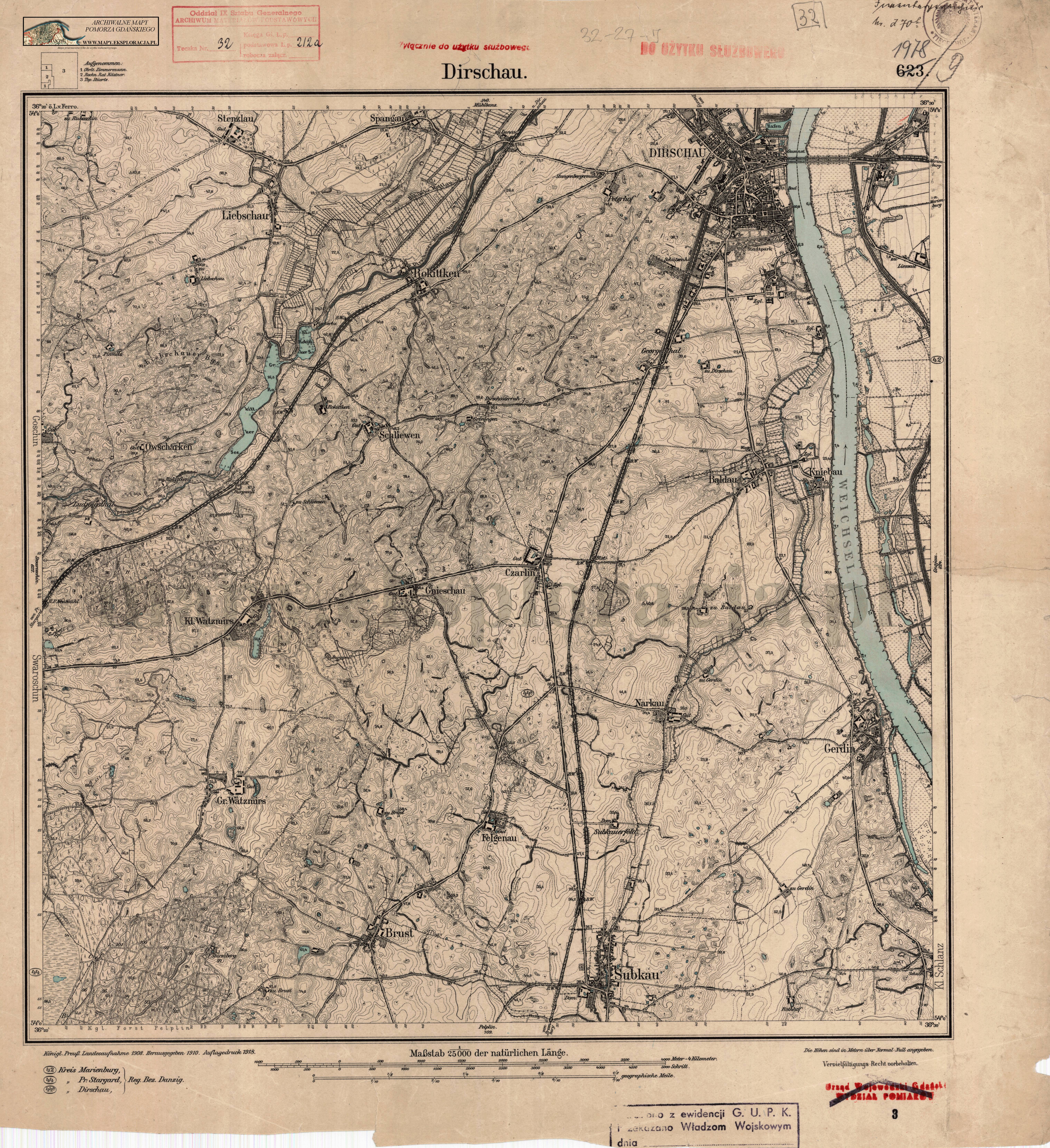
| sheet number | 1978 (623) |
| sheet title | Dirschau |
| modern name | Tczew |
| publication year | 1918 |
| publisher | Königlich-Preussische Landesaufnahme |
| map type | Meßtischblatt 1877 B |
| description | Type of 1877. Without any grids, zero meridian Ferro. Sheet numbering system of the old type. A two-colour map (basic content in black, waters in blue). |
| field survey year | 1908 |
| map/scan condition | good |
| scan resolution | 300 dpi |
| scan colors | rgb |
| entry edited | 2012-07-20 08:28:23 |
| from the collection of | Archiwum Map Pomorza Gdańskiego |
