


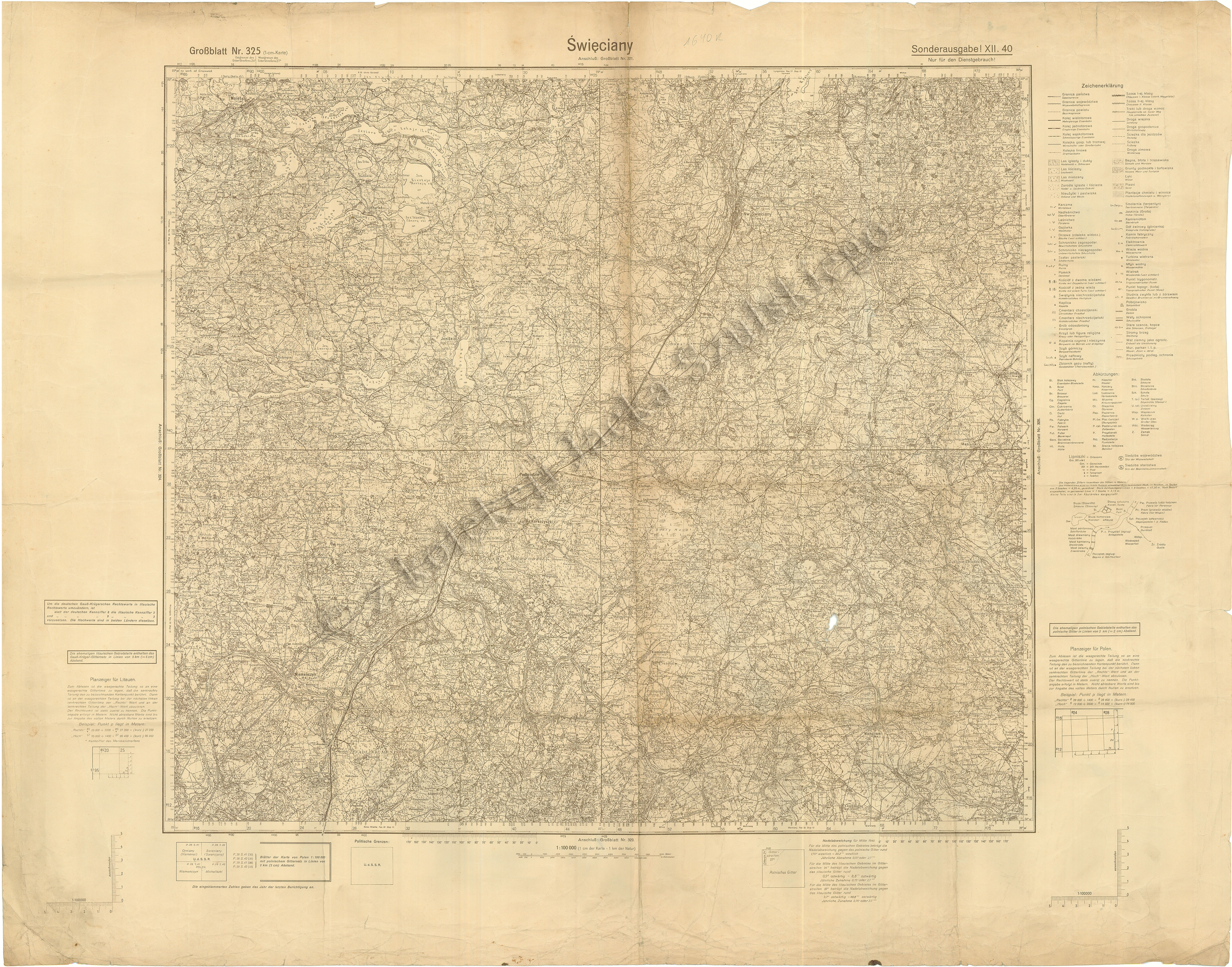
| map file | Gb_325_Swieciany_XII.1940_200dpi.jpg |
|---|---|
| file size | 11070031 (10.6 MB) |
| sheet number | 325 |
| sheet title | Święciany |
| modern name | Švenčionys |
| publication year | 1940 |
| map type | KDR WIG Großblatt |
| description | War-time edition. Its content is taken from the Operational Map of Poland 1:100 000 published by Wojskowy Instytut Geograficzny (WIG). |
| it was used the cartographic material | Unchanged reprint of a map published by Wojskowy Instytut Geograficzny |
| keywords | a special edition, for office use |
| map/scan condition | good |
| scan resolution | 200 dpi |
| scan colors | rgb |
| remarks | Sonderausgabe XII.40 |
| file added | 2014-04-14 |
| entry edited | 2012-03-24 15:01:23 |
| from the collection of | Pan Jacek Szulski (www.podbrodzie.info.pl) |
