


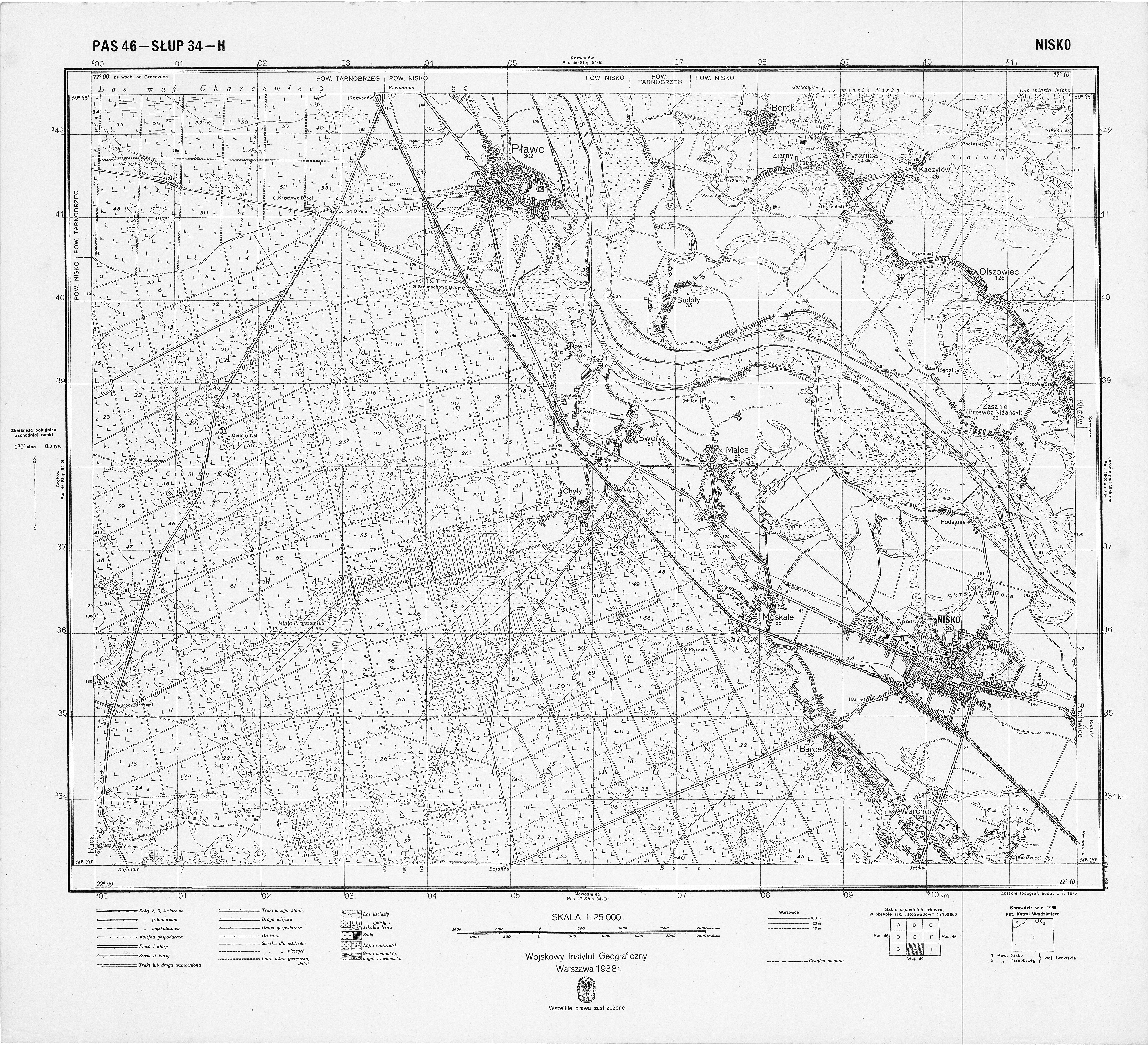
| map file | P46-S34-H_NISKO_1938_2.jpg |
|---|---|
| file size | 9718902 (9.3 MB) |
| sheet number | P46 S34 H (4634 H) |
| sheet title | NISKO (2) |
| publication year | 1938 |
| publisher | Wojskowy Instytut Geograficzny |
| map type | WIG 1:25tys normalny-cz/b |
| description | The WIG map 1:25,000. Normal edition, black/white. |
| map/scan condition | average |
| scan resolution | 300 dpi |
| scan colors | grayscale |
| file added | 2012-09-10 |
| entry edited | 2012-06-15 18:05:53 |
| from the collection of | Archiwum Map WIG |
