


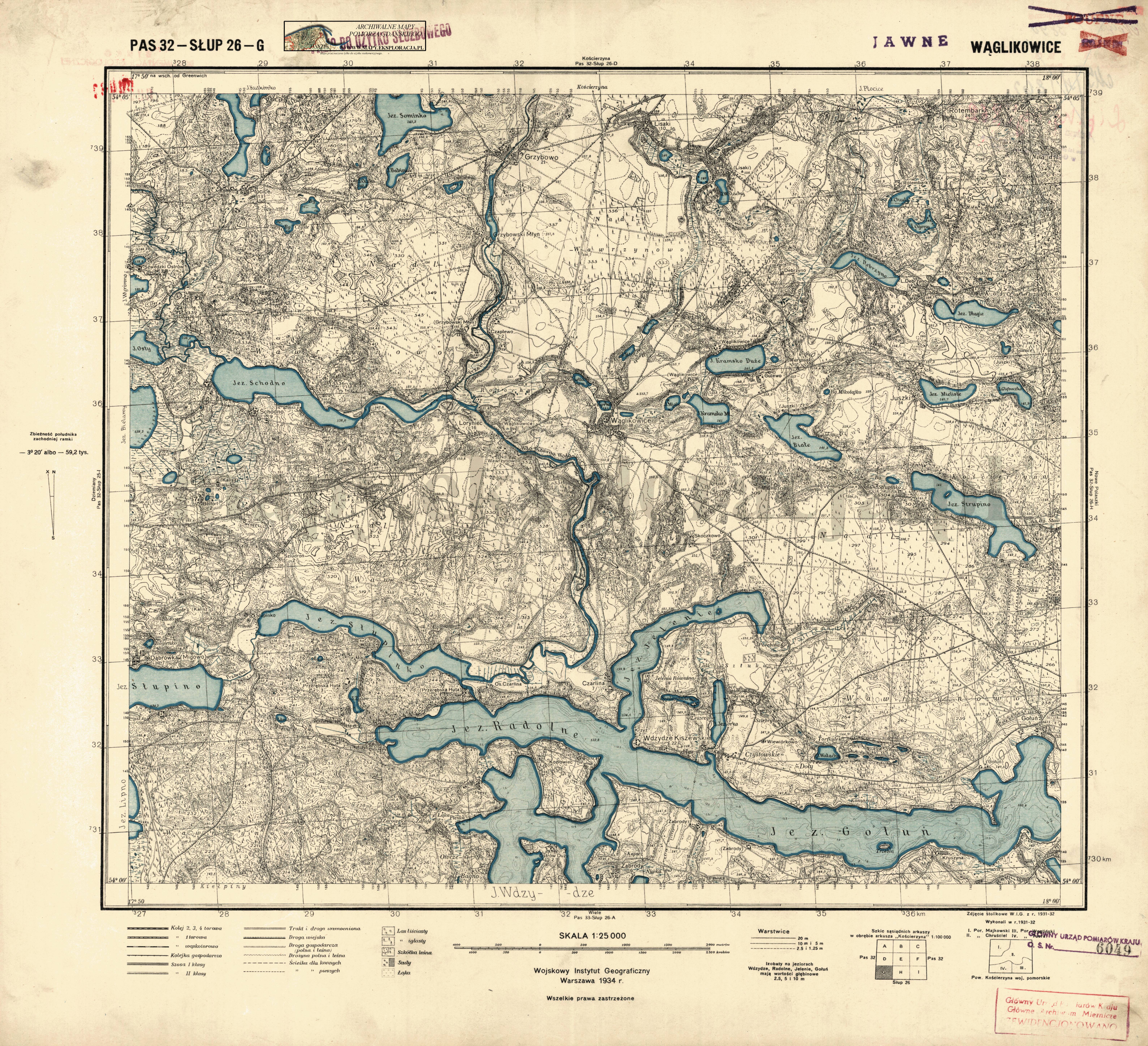
| map file | P32-S26-G_WEGLIKOWICE_1934.jpg |
|---|---|
| file size | 6900911 (6.6 MB) |
| sheet number | P32 S26 G (3226 G) |
| sheet title | WĄGLIKOWICE |
| publication year | 1934 |
| publisher | Wojskowy Instytut Geograficzny |
| map type | WIG 1:25tys normalny-2kolor (wody) |
| description | The WIG map 1:25,000. Normal edition, two-colour (waters). |
| map/scan condition | good |
| scan resolution | 300 dpi |
| file added | 2011-09-09 |
| entry edited | 2012-06-15 18:04:15 |
| from the collection of | Archiwum Map Pomorza Gdańskiego |
