


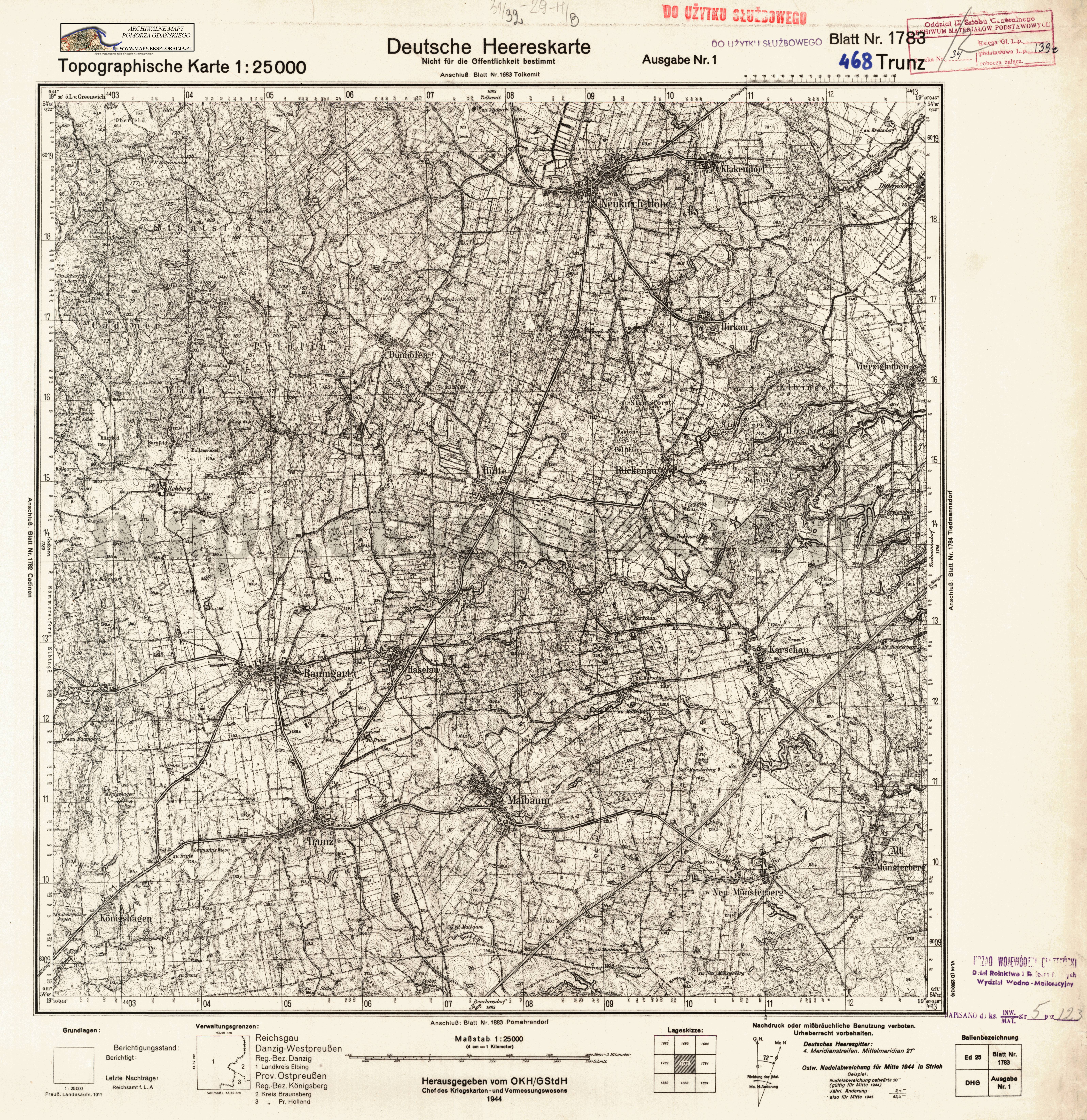
| map file | 1783_Trunz_1944_300dpi_AMPG.jpg |
|---|---|
| file size | 8442178 (8.1 MB) |
| sheet number | 1783 (468) |
| sheet title | Trunz |
| modern name | Milejewo |
| publication year | 1944 |
| publisher | Reichsamt für Landesaufnahme |
| map type | Deutsche Heereskarte A |
| description | Military edition, type of the year 1944. With the kilometre-nominated GK grid of type DRG or DHG, zero meridian Greenwich. Sheet numbering system of the new type. A one-colour map. |
| field survey year | 1911 |
| map/scan condition | good |
| scan resolution | 300 dpi |
| scan colors | rgb |
| entry edited | 2012-07-20 08:28:26 |
| from the collection of | Archiwum Map Pomorza Gdańskiego |
