


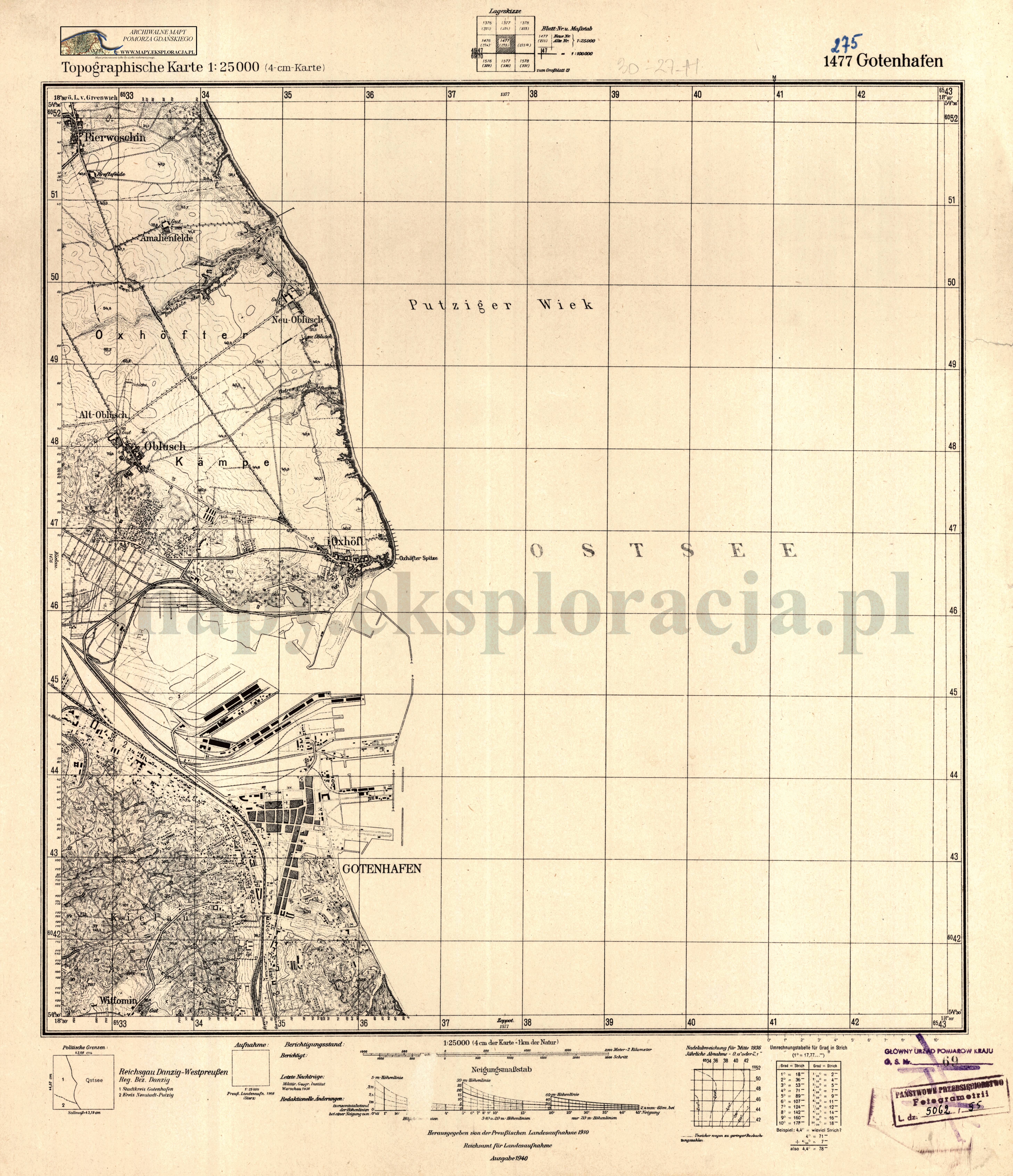
| map file | 1477_Gotenhafen_1940_300dpi_AMPG.jpg |
|---|---|
| file size | 5435739 (5.2 MB) |
| sheet number | 1477 (275) |
| sheet title | Gotenhafen |
| modern name | Gdynia |
| alternative name | Gdingen; Gotenhafen (1939-1945) |
| publication year | 1940 |
| publisher | Reichsamt für Landesaufnahme |
| map type | Topographische Karte 1:25000 (4-cm-Karte) 1939 A |
| description | A type of 1939. With the kilometre-nominated GK grid, zero meridian Greenwich. Sheet numbering system of the new type. A one-colour map. |
| field survey year | 1908 |
| last update year | 1938 |
| map/scan condition | good |
| scan resolution | 300 dpi |
| scan colors | rgb |
| remarks | Wczesne wydania arkusza 1477 były nazywane od innej miejscowości, będącej obecnie częścią Gdyni, tj.: Oxhöft (Oksywie) / Early editions os sheet 1477 were named after another locality, now part of Gdynia, i.e.: Oxhöft (Oksywie) |
| entry edited | 2012-07-20 08:28:31 |
| from the collection of | Archiwum Map Pomorza Gdańskiego |
