


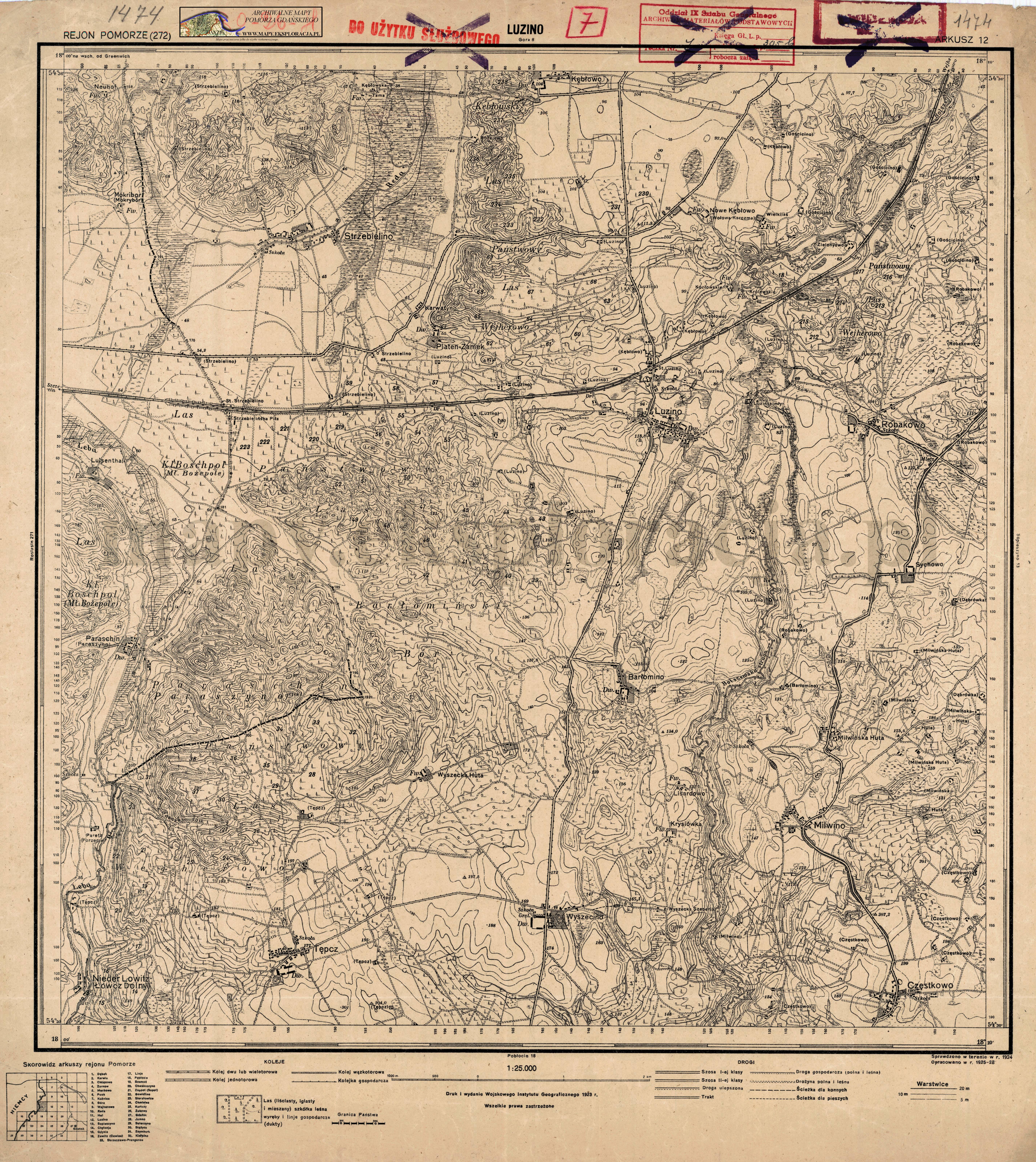
| map file | 1474_Lusin_1929_300dpi_AMPG.jpg |
|---|---|
| file size | 7450549 (7.1 MB) |
| sheet number | 1474 (272) |
| sheet title | Lusin |
| modern name | Luzino |
| publication year | 1929 |
| publisher | Reichsamt für Landesaufnahme |
| last update year | 1924 |
| it was used the cartographic material | Changed reprint of a map published by Reichsamt für Landesaufnahme |
| map/scan condition | good |
| scan resolution | 300 dpi |
| scan colors | rgb |
| entry edited | 2012-07-20 08:28:31 |
| from the collection of | Archiwum Map Pomorza Gdańskiego |
