


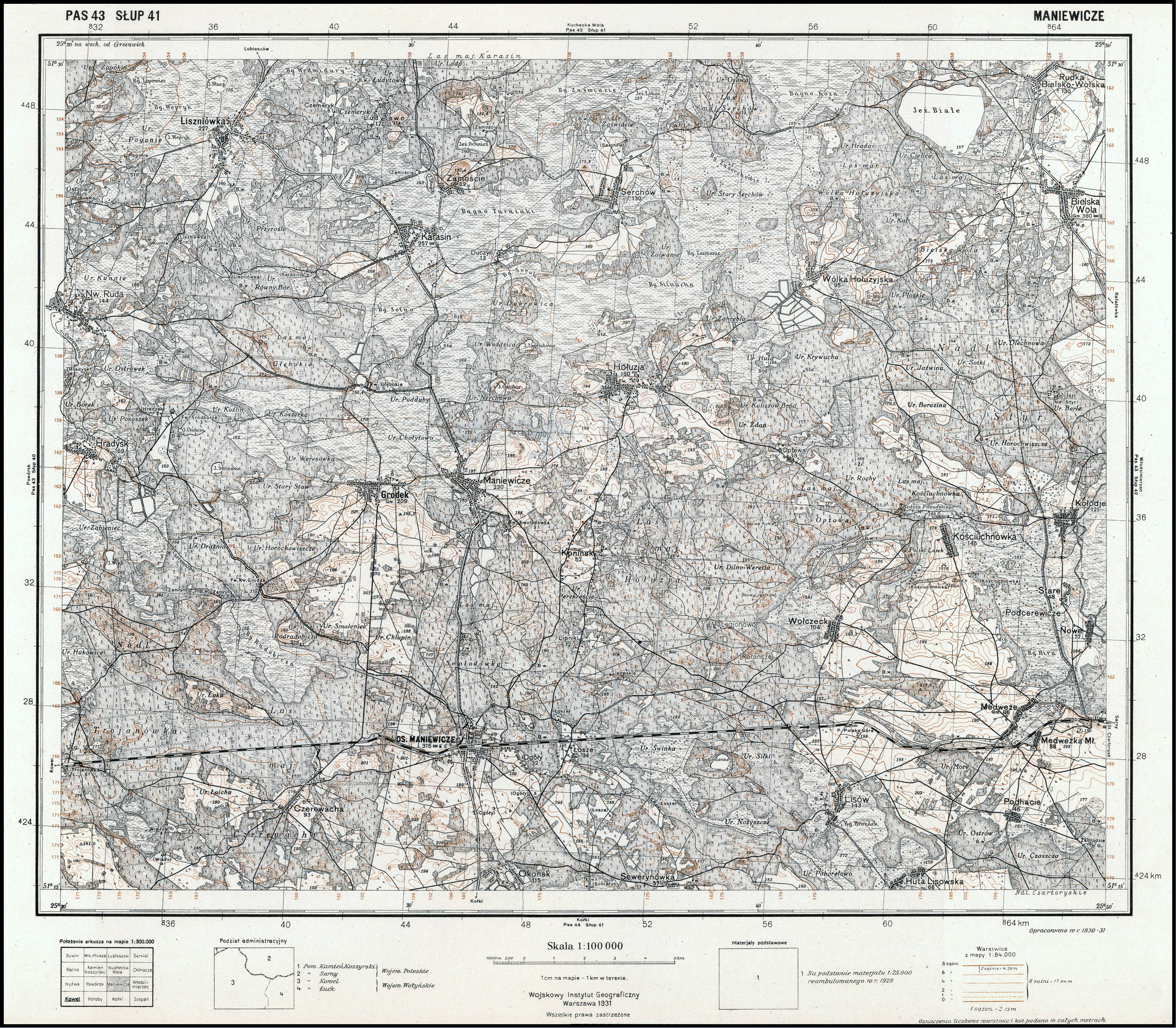
| map file | P43_S41_MANIEWICZE_1931_300dpi_bcuj302465-289718.jpg |
|---|---|
| file size | 7670263 (7.3 MB) |
| sheet number | Row 43 Col 41 (A43 B41) |
| sheet title | MANIEWICZE |
| modern name | Маневичі |
| alternative name | Maniewicze |
| publication year | 1931 |
| publisher | Wojskowy Instytut Geograficzny |
| map type | Typ III |
| description | A type of 1929. The QS grid each 2 kilometres, zero meridian Greenwich. A two-colour map (basic content in black, contours in brown). |
| map/scan condition | good |
| scan resolution | 300 dpi |
| scan colors | rgb |
| file added | 2015-12-01 |
| entry edited | 2008-01-10 21:31:41 |
| from the collection of | Jagiellońska Biblioteka Cyfrowa |
