


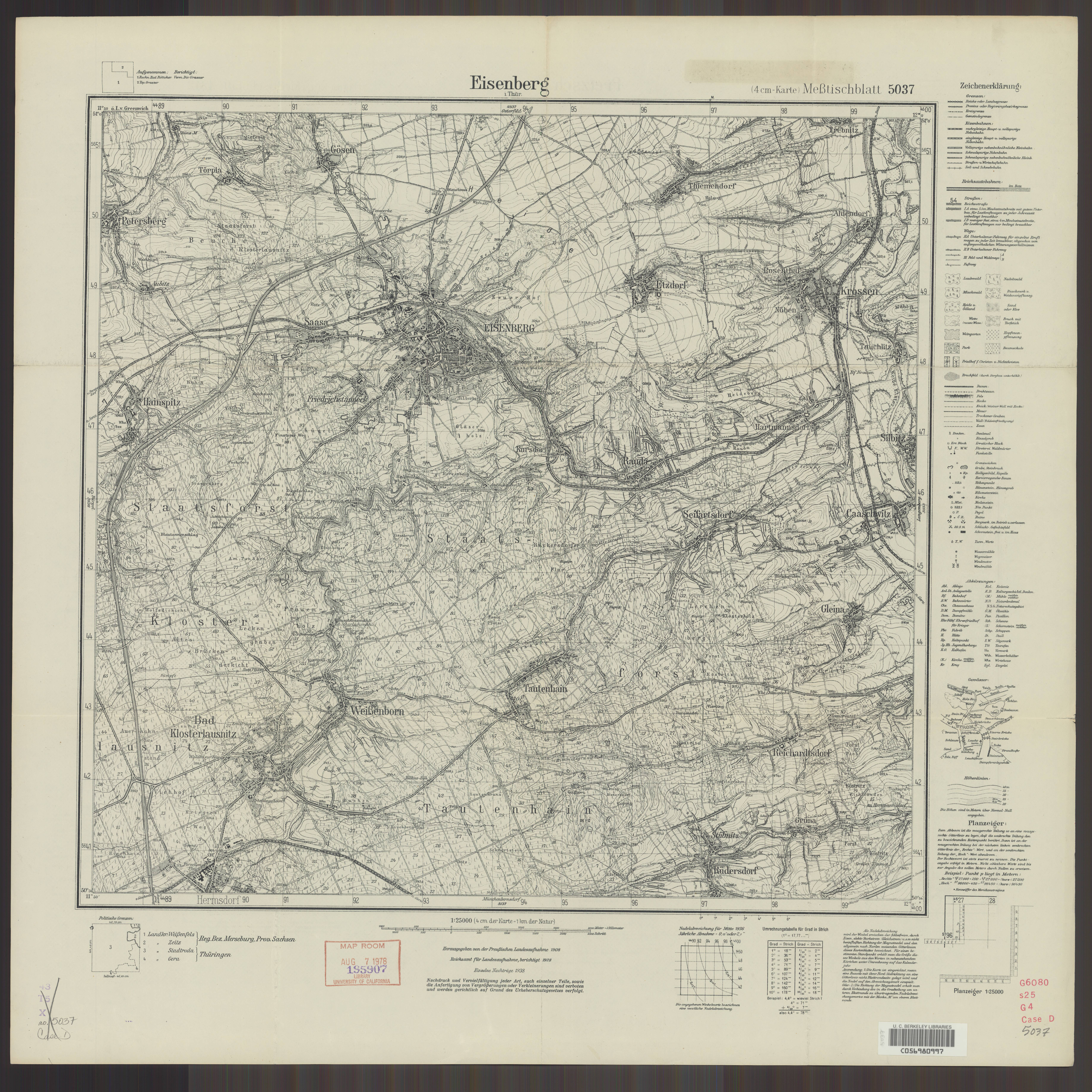
| map file | 5037_Eisenberg_i._Thuer._1938_uniberk_C056980997.jpg |
|---|---|
| file size | 8017056 (7.6 MB) |
| sheet number | 5037 (2938) |
| map sheet scale | 1:25,000 |
| sheet title | Eisenberg i. Thür. |
| publication year | 1938 |
| scan resolution | 300 dpi |
| scan colors | rgb |
| file added | 2021-04-11 |
| entry edited | 2021-04-11 11:07:16 |
| from the collection of | The University of California Berkeley Library |
| call no | dl id: C056980997 |
