


| map file | 6916_Karlsruhe_Planblatt_A_4.1940_uniberk_C056987889.jpg |
|---|---|
| file size | 7064696 (6.7 MB) |
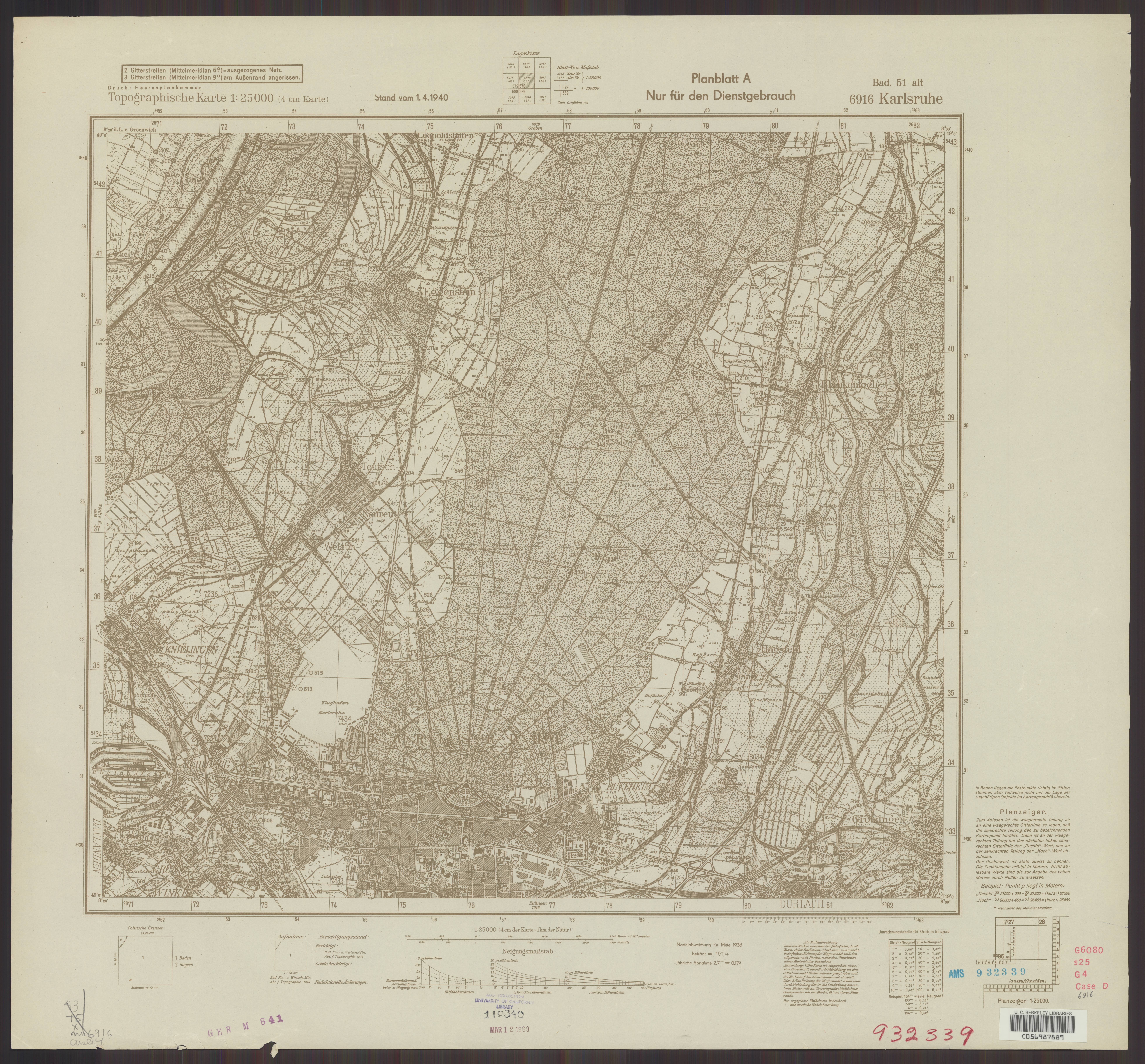
| sheet number | 6916 |
| map sheet scale | 1:25,000 |
| sheet title | Karlsruhe [Planblatt A] |
| publication year | 1940 |
| publisher | Oberkommando des Heeres / Generalstab |
| scan resolution | 300 dpi |
| scan colors | rgb |
| file added | 2021-04-09 |
| entry edited | 2021-04-10 23:36:24 |
| from the collection of | The University of California Berkeley Library |
| call no | dl id: C056987889 |
