


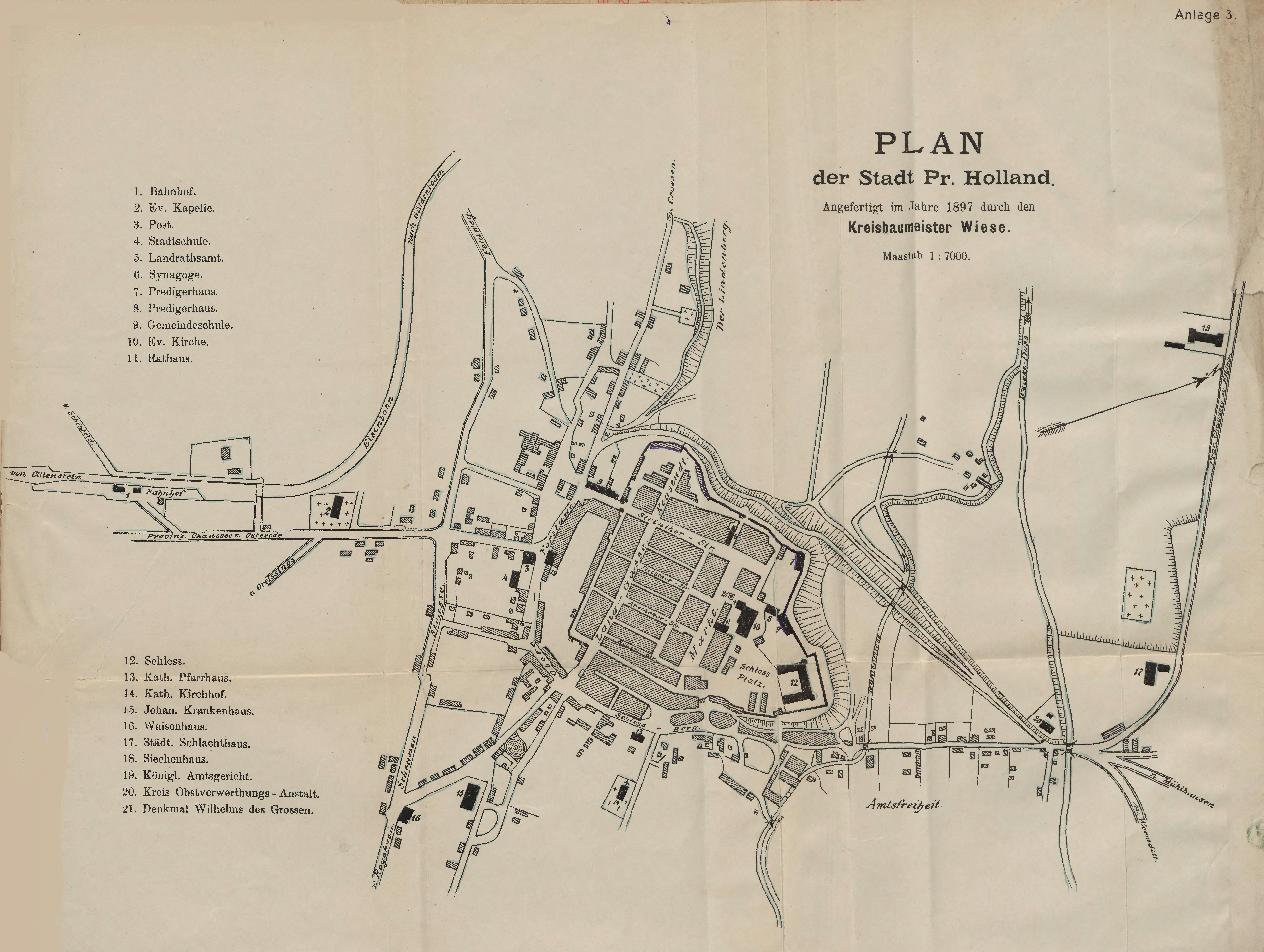
| Kartedatei | PLAN_der_Stadt_Pr._Holland_7K_1897_bc_elb.jpg |
|---|---|
| Dateigröße | 2857047 (2.7 MB) |
| Blattnummer | Pasłęk |
| Blattmaßstab | 1:7 000 |
| Blatttitel | Plan der Stadt Preußisch Holland |
| Veröffentlichungsjahr | 1897 |
| Karte/Scanzustand | schlecht |
| Scanauflösung | 200 dpi |
| Scanfarben | rgb |
| Datei hinzugefügt | 2020-09-19 |
| Eintrag editiert | 2020-09-19 21:19:28 |
| aus der Sammlung von | Elbąska Biblioteka Cyfrowa |


