


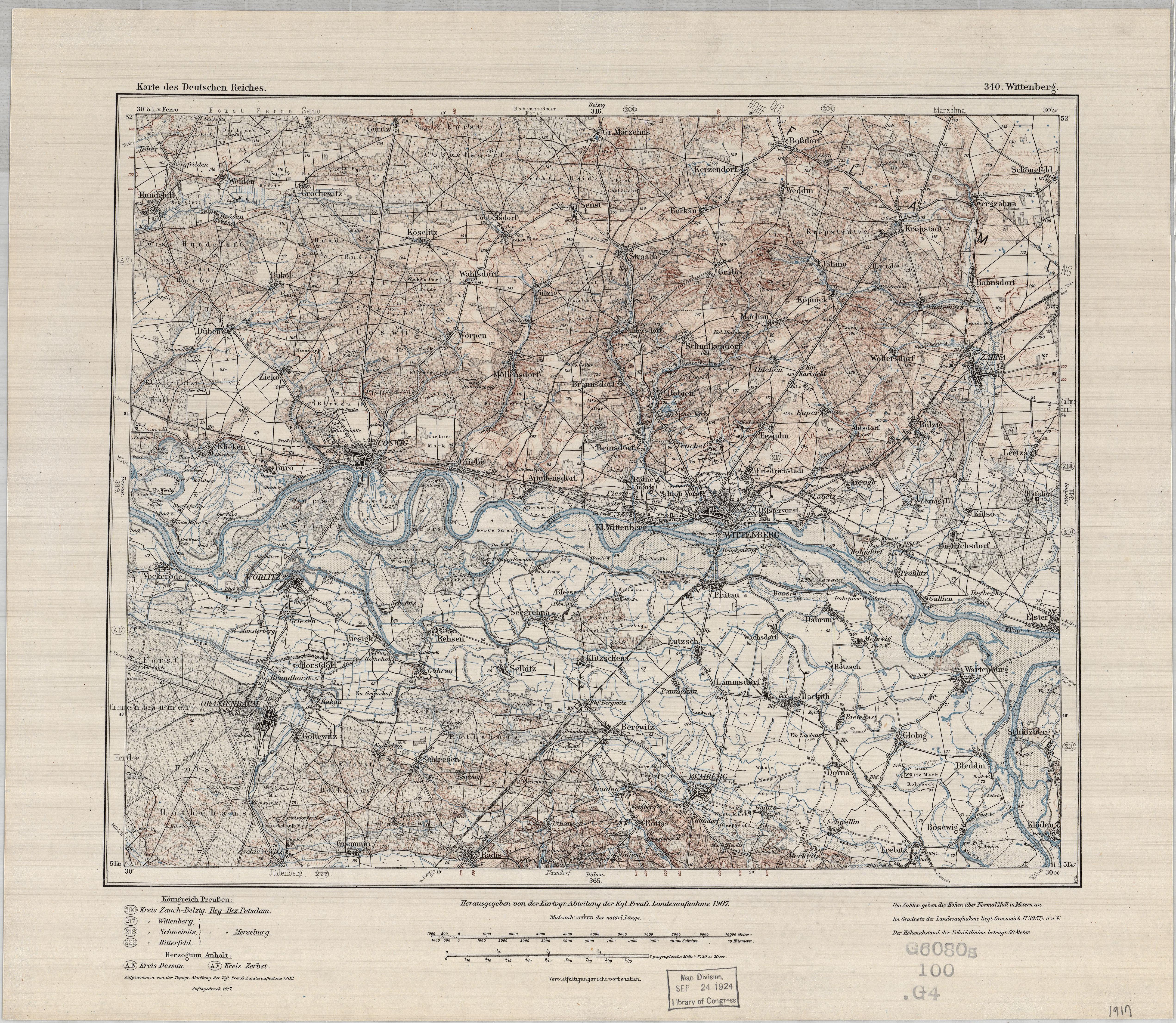
| map file | KDR100_340_Wittenberg_1917_LoC_G6080_s100_.G4.jpg |
|---|---|
| file size | 6833688 (6.5 MB) |
| sheet number | 340 |
| map sheet scale | 1:100,000 |
| sheet title | Wittenberg |
| publication year | 1917 |
| publisher | Königlich-Preussische Landesaufnahme |
| map/scan condition | good |
| scan resolution | 300 dpi |
| scan colors | rgb |
| file added | 2019-07-16 |
| entry edited | 2019-07-16 19:39:31 |
| from the collection of | The Library of Congress, Washington, DC, USA |
| call no | G6080 s100 .G4 |
