


| map file | 1967_Rummelsburg_Kopia_1919.jpg |
|---|---|
| file size | 8467491 (8.1 MB) |
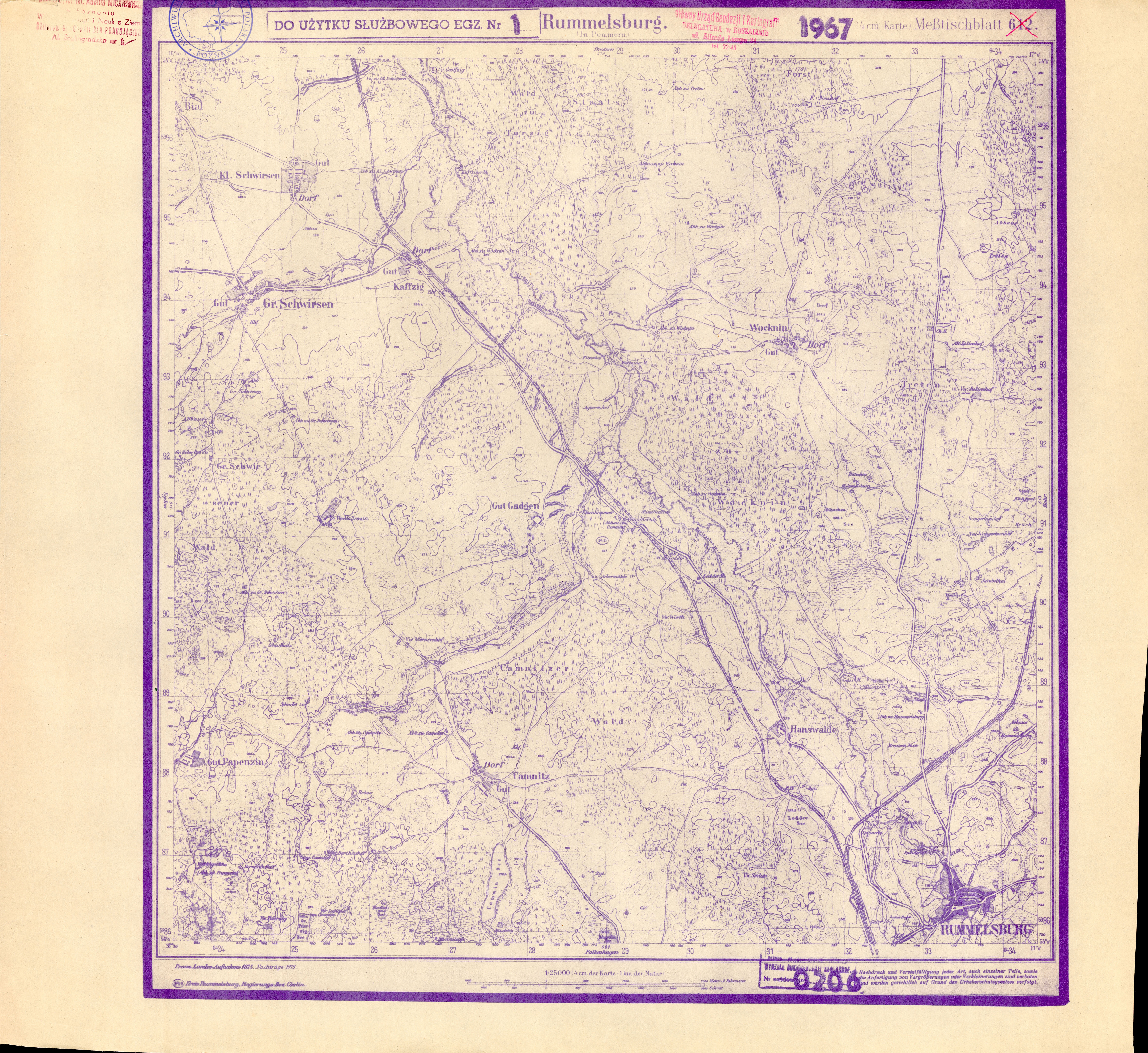
| sheet number | 1967 (612) |
| sheet title | Rummelsburg |
| modern name | Miastko |
| annotation | BLUEPRINT COPY, POOR |
| publication year | 1919 |
| scan resolution | 300 dpi |
| file added | 2015-04-12 |
| entry edited | 2015-04-12 23:57:50 |
| from the collection of | Archiwum Map Zachodniej Polski |
