


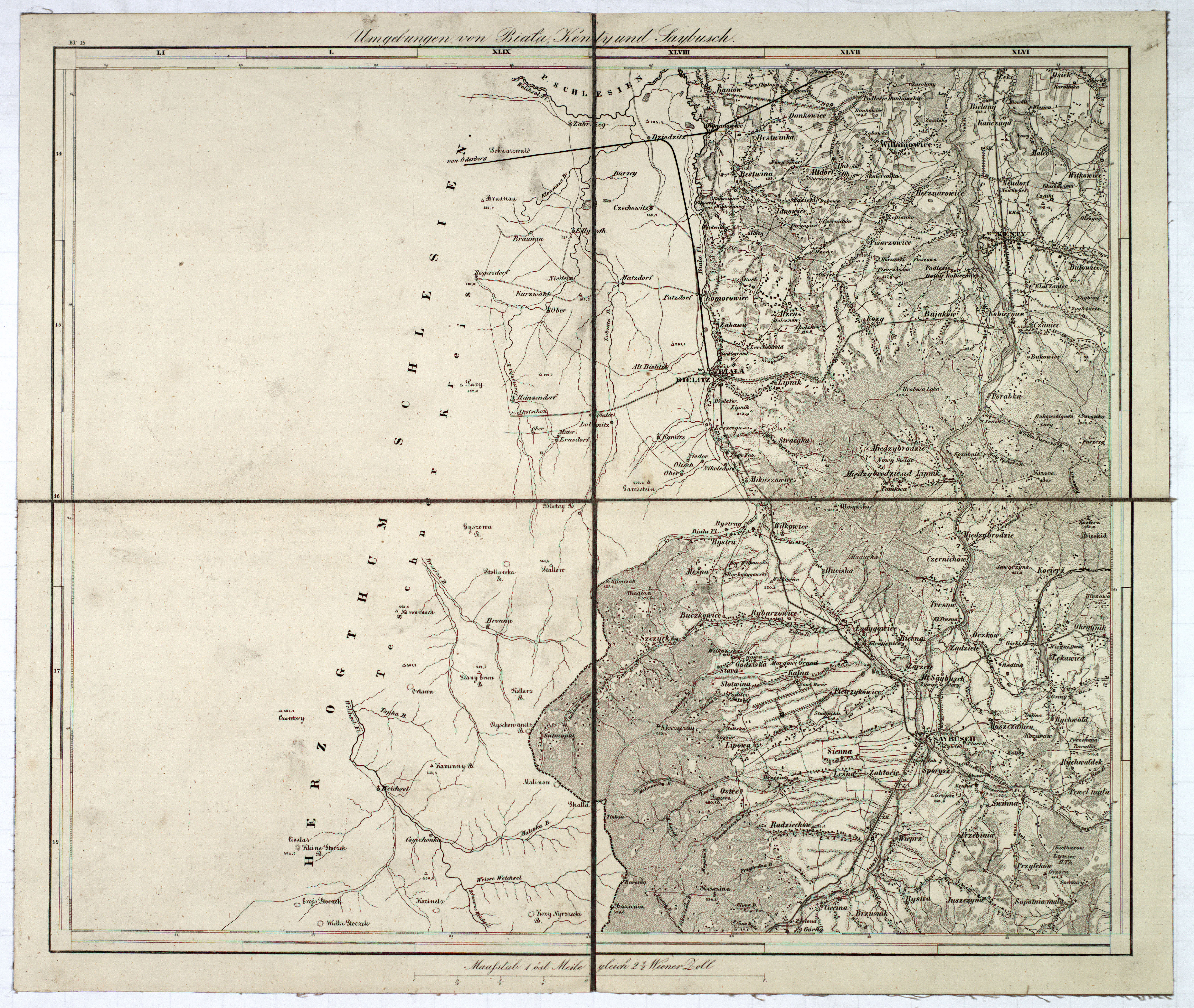
| map file | Bl_15_Umgebungen_von_Biala_Kenty_und_Saybusch_300dpi_sharpened.jpg |
|---|---|
| file size | 40589524 (38.7 MB) |
| sheet number | 15 |
| sheet title | Umgebung von Biała, Kenty und Saybusch |
| modern name | Bielsko-Biała, Kęty, Żywiec |
| annotation | obraz wyostrzony / sharpened image |
| publication year | 1855 |
| map/scan condition | average |
| scan resolution | 300 dpi |
| file added | 2014-08-31 |
| entry edited | 2014-08-31 13:44:53 |
| from the collection of | Archiwum Map WIG |
