


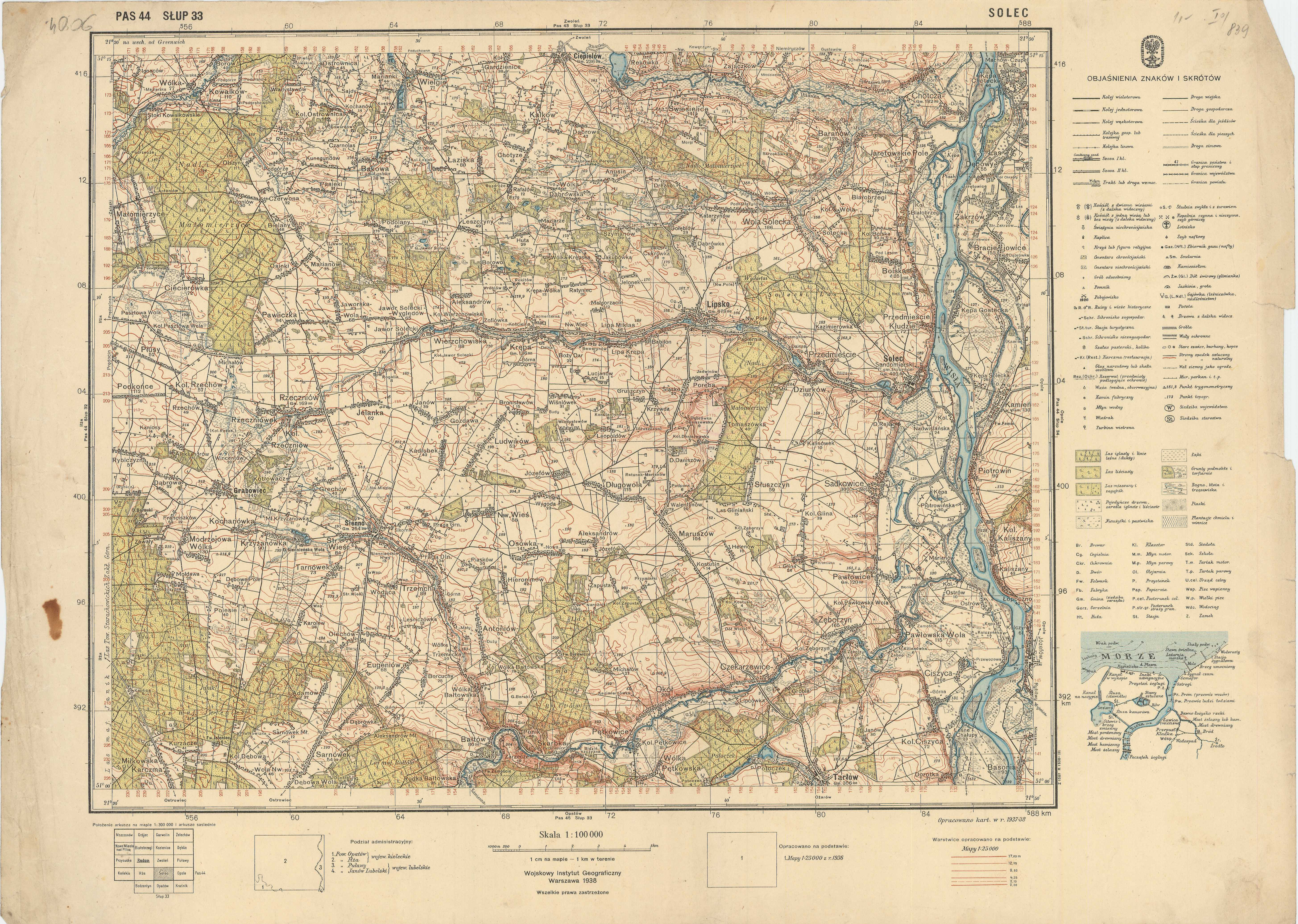
| map file | P44_S33_Solec_1938_RadBC-18951@M-188.jpg |
|---|---|
| file size | 7113080 (6.8 MB) |
| sheet number | Row 44 Col 33 (A44 B33) |
| sheet title | SOLEC |
| modern name | Solec nad Wisłą |
| publication year | 1938 |
| publisher | Wojskowy Instytut Geograficzny |
| map type | Typ IV |
| description | A type of 1931. The QS grid each 2 kilometres, zero meridian Greenwich. A four-colour map (basic content in black, waters in blue, forests in green, contours in brown). Additional colours: red for tourist routes, violet for shadowing. |
| map/scan condition | average |
| scan resolution | 300 dpi |
| scan colors | rgb |
| file added | 2014-04-27 |
| entry edited | 2014-04-27 12:16:50 |
| from the collection of | Radomska Biblioteka Cyfrowa |
| source reference | bc id: 18951 |
