


| Kartedatei | ssees0022_A_new_map_of_the_Kingdom_of_Hungaria_with_other_bordering_countrie-1683.jpg |
|---|---|
| Dateigröße | 9029160 (8.6 MB) |
| Blattnummer | HUNGARY |
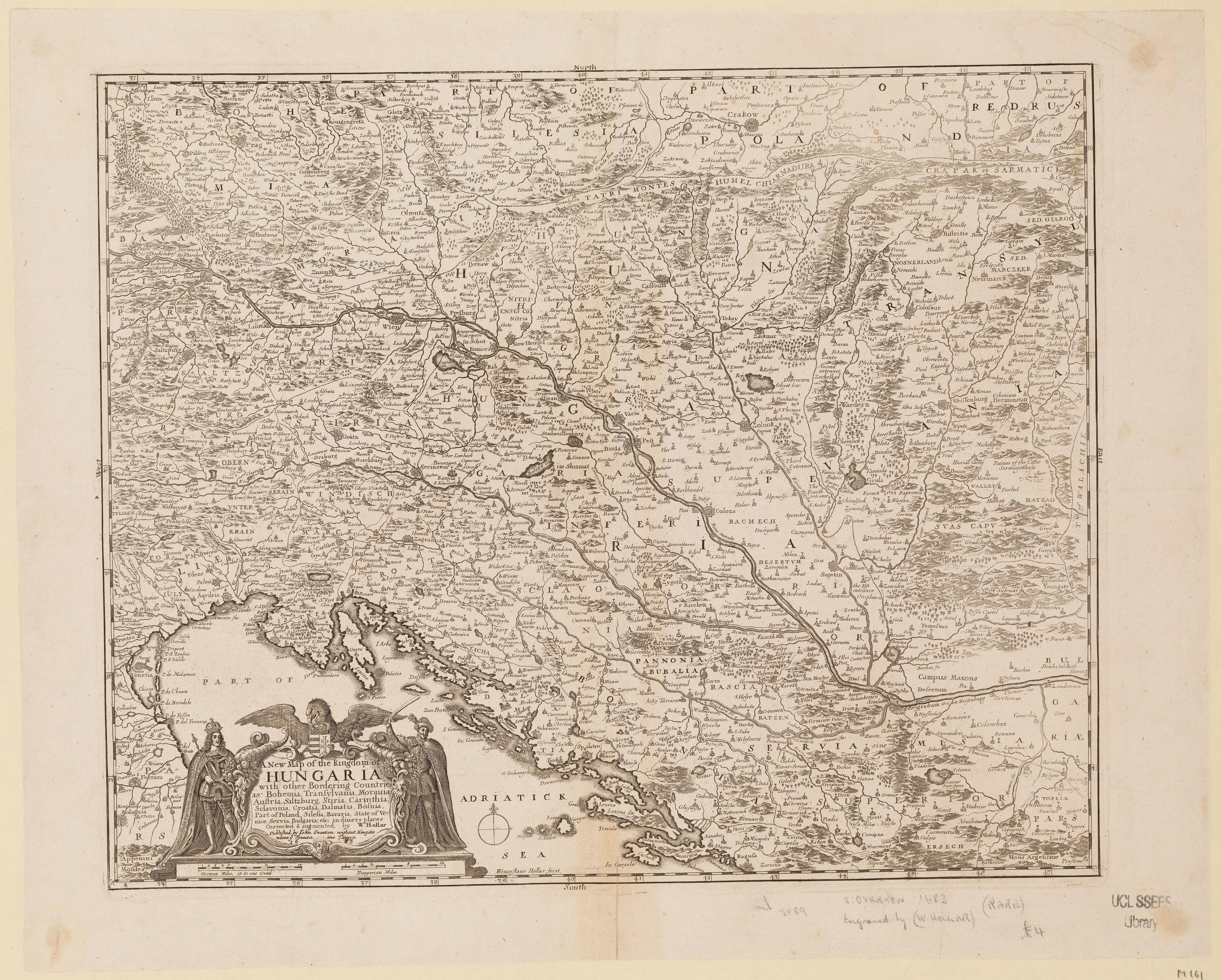
| Blatttitel | A new map of the Kingdom of Hungariawith other bordering countrie |
| Veröffentlichungsjahr | 1683 |
| Karte/Scanzustand | gut |
| Scanauflösung | 300 dpi |
| Scanfarben | rgb |
| Hinweise | A new map of the Kingdom of Hungaria :with other bordering countries as Bohemia, Transylvania, Moravia, Austria, Saltzburg, Stiria, Carinthia, Sclavonia, Croatia, Dalmatia, Bosnia, part of Poland, Silesia, Bavaria, state of Venice, Servia, Bulgaria, etc. in divers places /corrected and augmented by W. Hollar. Hollar, Wenceslaus, 1607-1677. From the collections of UCL SSEES Library [London] : published by Iohn Overton ... , 1683 |
| Datei hinzugefügt | 2014-04-10 |
| Eintrag editiert | 2014-04-11 22:14:33 |
| aus der Sammlung von | University College of London, School of Slavonic and East European Studies |
| Lieferers Lizenz | Copyright UCL Library Services, 2010, licensed under Creative Commons Attribution-NonCommercial-ShareAlike 2.0 UK: England and Wales Licence. For further information on this Licence please refer to: http://creativecommons.org/licenses/by-nc-sa/2.0/uk/ |
