


| map file | TUDR_121_Landsberg_i.O._Schl._1901.jpg |
|---|---|
| file size | 4015144 (3.8 MB) |
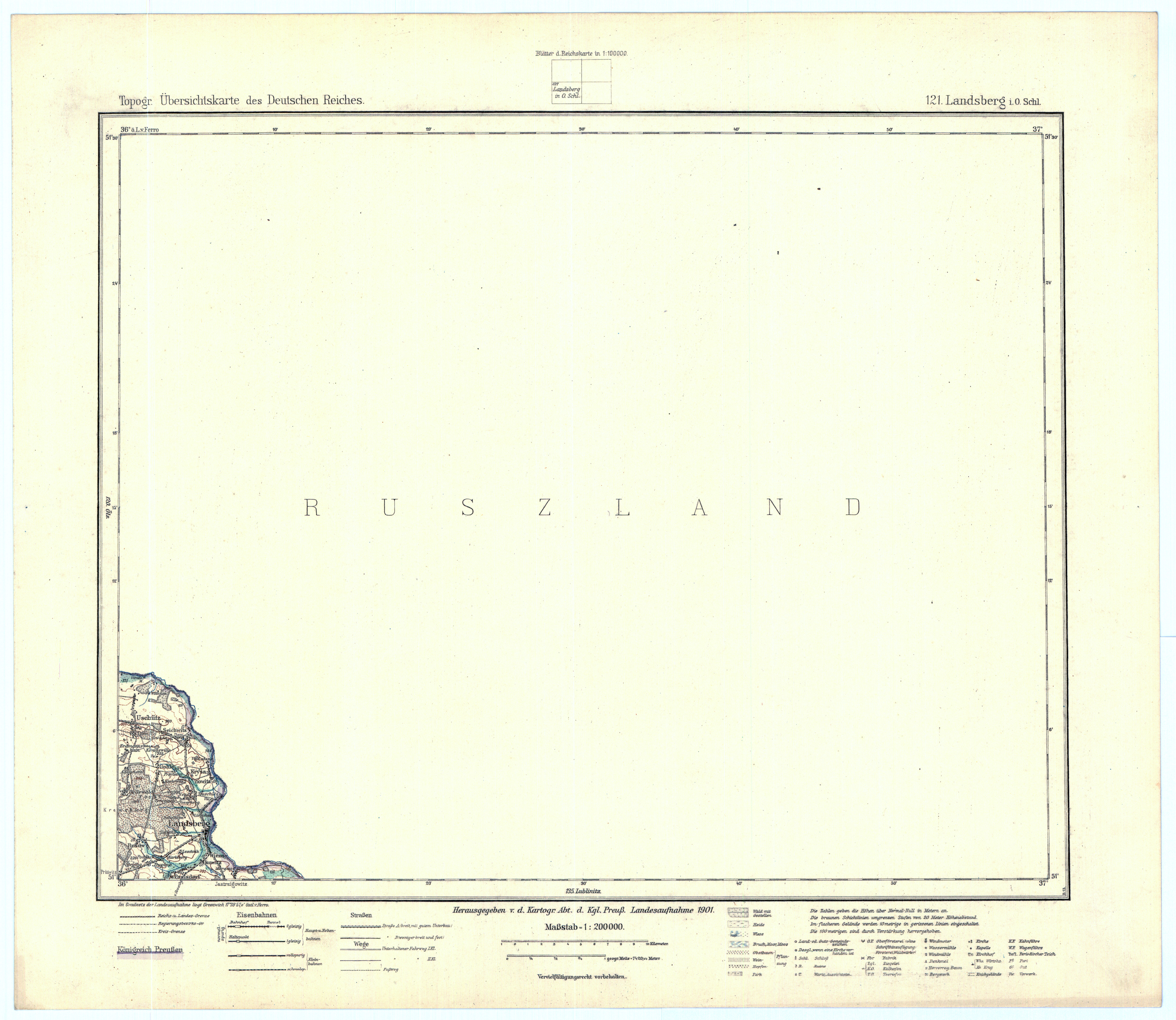
| sheet number | 121 |
| sheet title | Landsberg i. O. Schl. |
| modern name | Gorzów Śląski |
| publication year | 1901 |
| publisher | Königlich-Preussische Landesaufnahme |
| scan resolution | 300 dpi |
| entry edited | 2011-02-28 15:35:01 |
| from the collection of | Archiwum Map WIG |
