


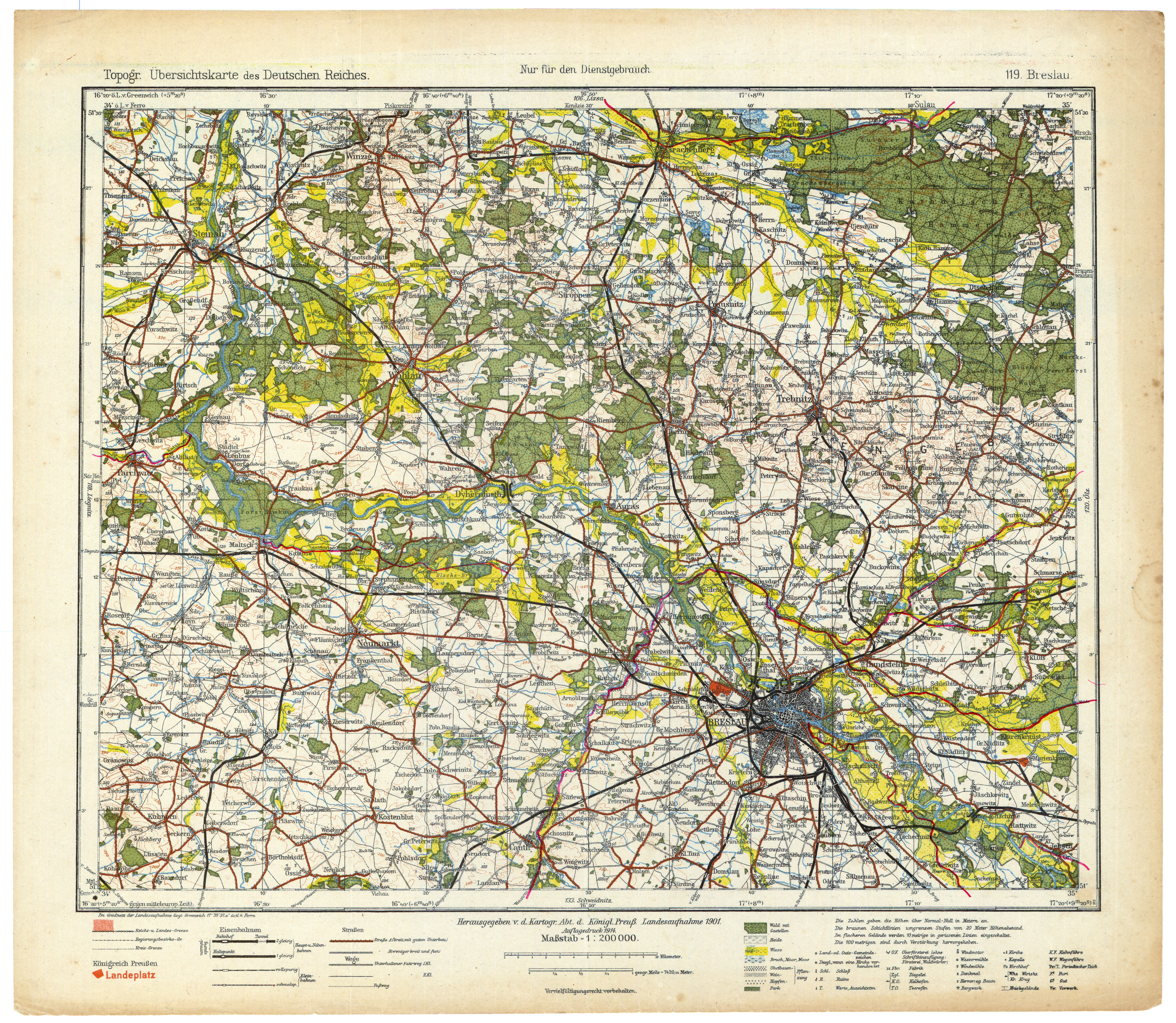
| map file | TUDR_119_Breslau_1901-14_kol.jpg |
|---|---|
| file size | 11534000 (11.0 MB) |
| sheet number | 119 |
| sheet title | Breslau |
| modern name | Wrocław |
| publication year | 1914 |
| publisher | Königlich-Preussische Landesaufnahme |
| scan resolution | 400 dpi |
| remarks | Przedruk z 1901 |
| entry edited | 2011-02-28 15:35:00 |
| from the collection of | Archiwum Map WIG |
