


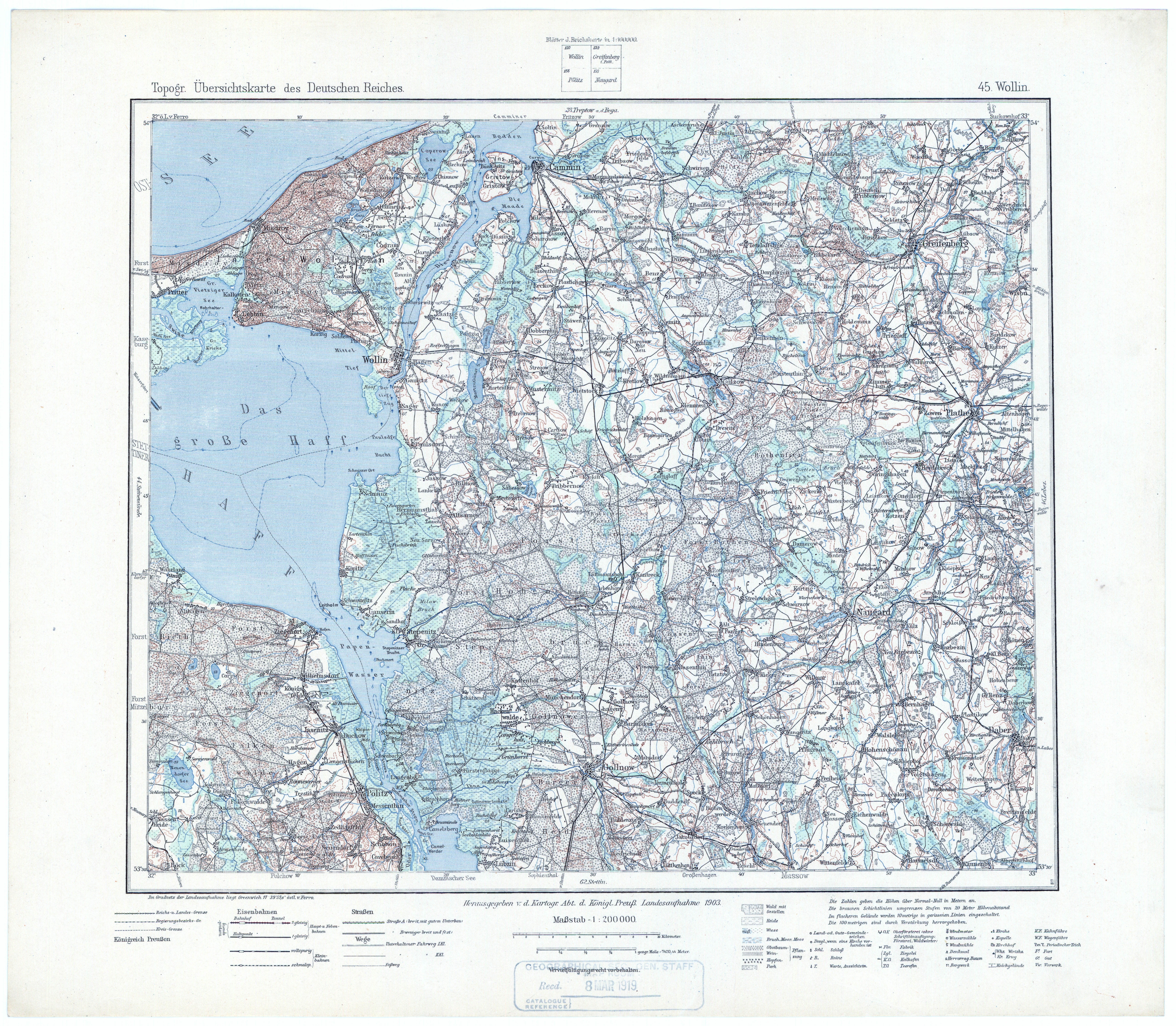
| map file | TUDR_45_Wollin_1903-17.jpg |
|---|---|
| file size | 7655000 (7.3 MB) |
| sheet number | 045 |
| sheet title | Wollin |
| modern name | Wolin |
| publication year | 1917 |
| publisher | Königlich-Preussische Landesaufnahme |
| scan resolution | 400 dpi |
| remarks | Przedruk z 1903 |
| entry edited | 2011-02-28 15:34:56 |
| from the collection of | Archiwum Map WIG |
