


| file name | Wegweiser_KOENIGSBERG_Pr._15K_1928verso_kpbc_M-281.jpg |
|---|---|
| file size | 5260768 (5.0 MB) |
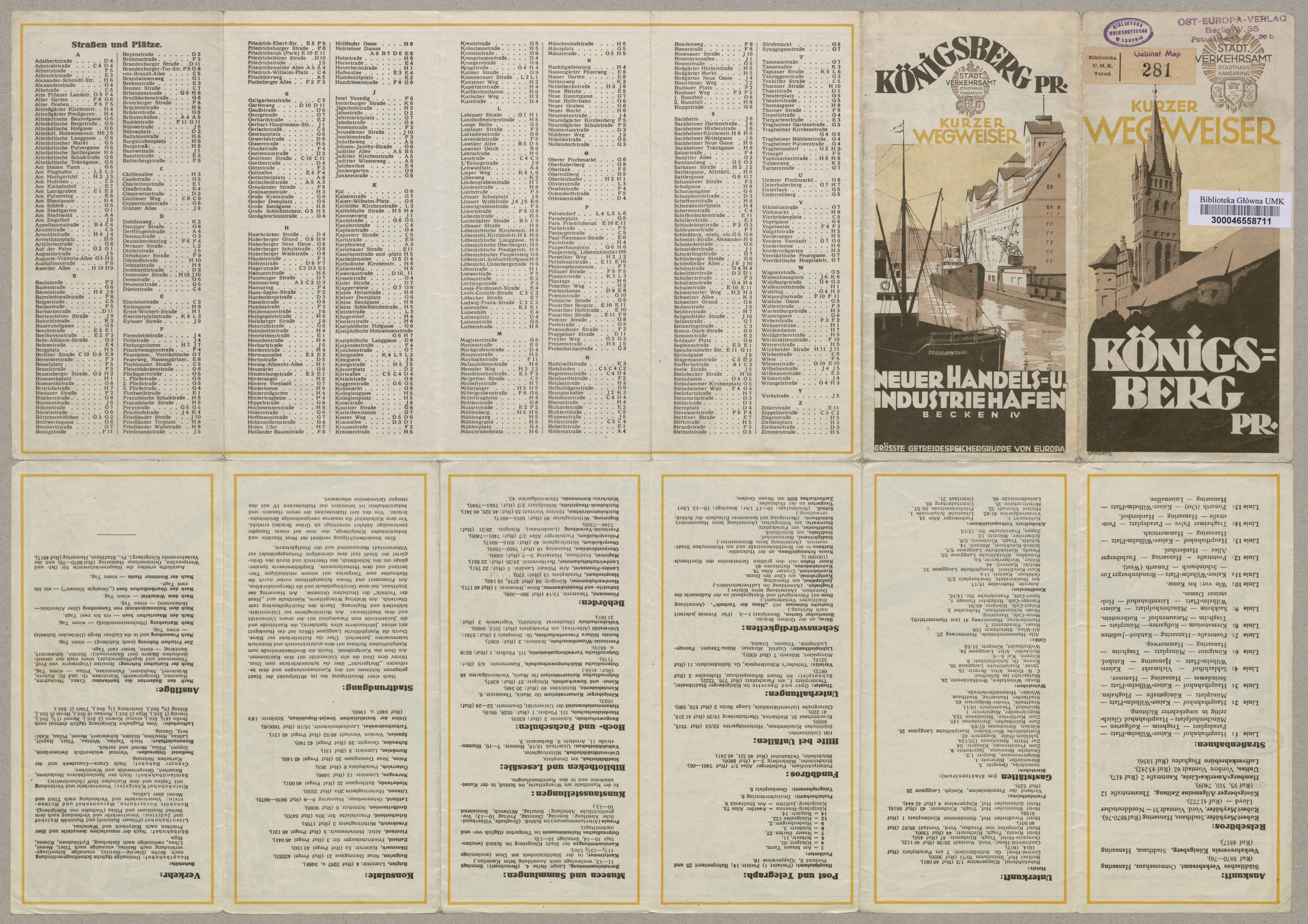
| appendix title | Wegweiser KÖNIGSBERG Pr. - verso (Strassen u. Plätze) |
| annotation | [KURZER WEGWEISER KÖNIGSBERG PR.] |
| publication year | 1928 |
| entry edited | 2020-09-19 21:43:50 |
| file added | 2020-09-19 |
| from the collection of |
