


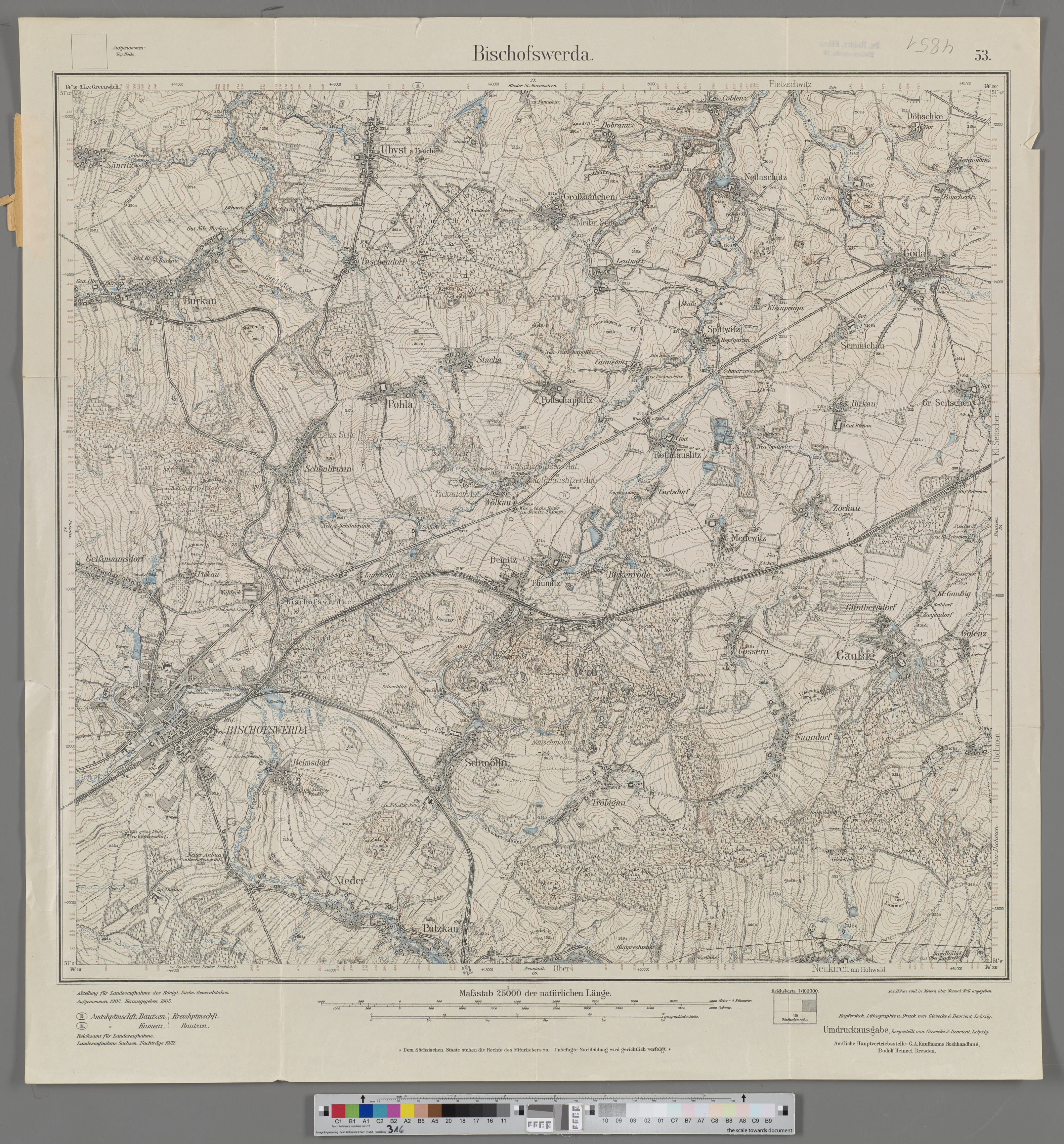
| plik mapy | 4851_Bischofswerda_1922_IfL.jpg |
|---|---|
| rozmiar pliku | 4113104 (3.9 MB) |
| godło arkusza | 4851 |
| skala arkusza | 1:25 000 |
| tytuł arkusza | Bischofswerda |
| rok wydania | 1922 |
| wydawca | Reichsamt für Landesaufnahme oder ehemalige Landvermessungsbehörden |
| stan mapy/skanu | zły |
| rozdzielczość | 300 dpi |
| kolory skanu | rgb |
| plik dodano | 2024-10-29 |
| wpis edytowano | 2024-10-30 12:02:51 |
| ze zbiorów | Leibniz-Institut für Länderkunde, IfL |
| odnośnik do źródła | https://leibniz-ifl.de/forschung/forschungsinfrastrukturen/digitale-sammlungen/topographische-karte-125000-des-deutschen-reichs |
